An Interactive Mapping Tool for Examining American Neighborhoods
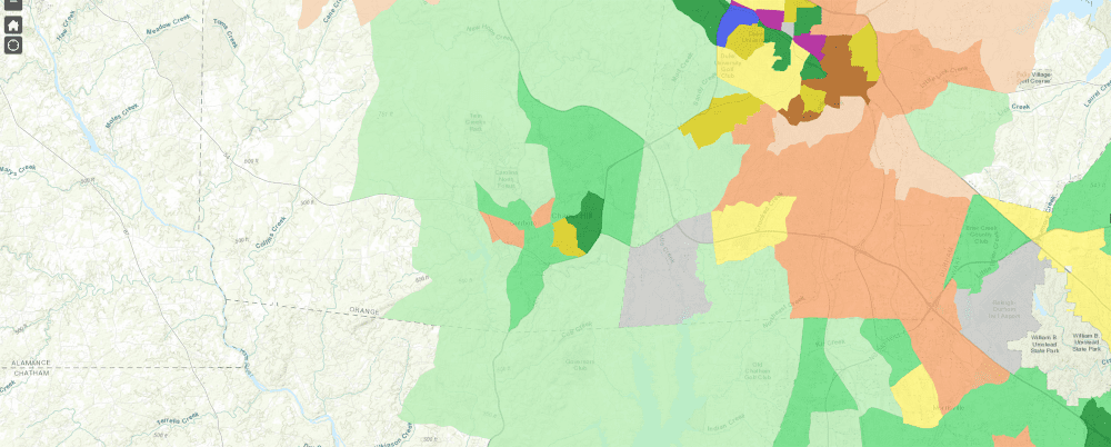
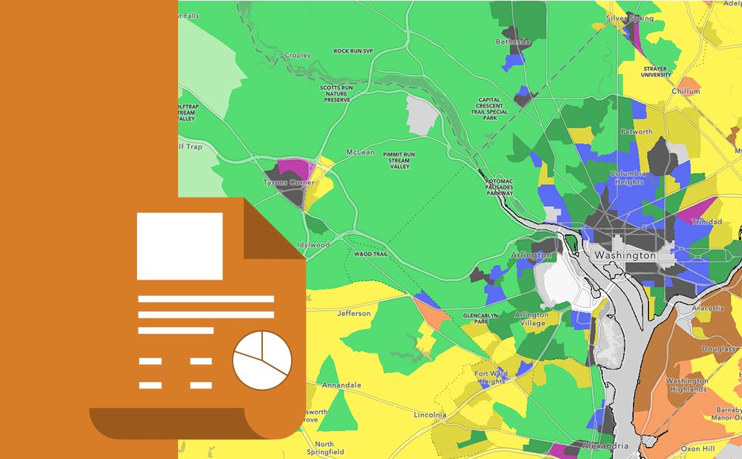
RCLCO is happy to announce an update and expansion to its Neighborhood Atlas. Originally created in conjunction with the ULI Terwilliger Center for Housing, the Neighborhood Atlas is an interactive map that sorts neighborhoods into one of 13 categories, ranging from “Rural” to “Economic Center.” Since its release in December 2016, the Neighborhood Atlas has attracted more than 32,000 page views, as real estate practitioners, academic figures, policy analysts, and others have used it to examine the communities in which they live, work, and play.
Today, RCLCO is releasing updated classifications, utilizing census tract boundaries from the 2020 Census and updated data through the end of 2022. The Neighborhood Atlas also covers a greater number of locations than ever before; in total, more than 70% of Americans now live in a neighborhood with a classification. Importantly, these classifications are just a single snapshot of these communities. In reality, neighborhoods are constantly evolving, as they experience such changes as urbanization, suburbanization, gentrification, and—in some cases—deterioration.


